The Town of Pelham has never had a formal policy regarding the designation of community safety zones on its roads, but that hasn’t stopped the municipality from creating them.
All that is about to change after councillors recently approved a staff report that outlined a new policy that will guide the creation of any new zones. Once a bylaw is passed to enact it, eight new community safety zones will be established, covering all corners of the municipality.
Town Solicitor Jennifer Stirton said Wednesday that she wasn’t sure just when that bylaw would be back before council for final approval.
“The direction received from council at the last meeting was to prepare the bylaw,” Stirton said. “I don't know when that bylaw is coming, but once the bylaw is passed by council to designate those eight community safety zones … the Highway Traffic Act requires prescribed signage to be posted.”
It is only when those criteria are met that the new community safety zones would come into effect, she said.
The new policy lays out how the Town will determine what areas may benefit from the implementation of a community safety zone. Notably, the report stated that they should be created at “locations of special concern,” including schools, seniors’ centres and institutions, and parks.
Other justifications for establishing a community safety zone would include that if a traffic analysis concludes there’s a need for one or if safety concerns have been raised by residents.
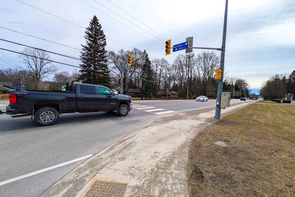
The eight new community safety zones being created cover locations in Fonthill, Ridgeville, and Fenwick, near Glynn A Green, Wellington Heights, and St. Ann schools, Peace, Harold Black, and Centennial parks, and Shorthills Manor and Town Square Manor seniors’ homes.
They will be established at 1551 to 1113 Haist St.; Pancake Lane (38 metres west of Haist Street to 208 Pancake Ln.); Canboro Road to 951 Church St.; Canboro Road, 350 metres east of Farr to Balfour Street; Pelham Street, 125 metres south of Hurricane Road to Pancake Lane; Port Robinson Road, from Pelham Street to Rice Road; Pelham Town Square, from Highway 20 to Station Street; and Haist Street, from Welland Road to 100 metres north of Foss Road.
Ward 1 Coun. Kevin Ker liked the idea of the Town having a policy for council to use as a guide.
“It allows us, still, the freedom to bring forth issues and then collectively make decisions,” he said.
Ker also noted that it was a good idea for the Town to have its own policy and not just adopt one from another municipality.
“I think what's in here is talking about there's no absolutely hard and fast measuring criteria,” he said. “If we utilize somebody else's criteria, we never fit.”
Ward 2 Coun. Brian Eckhardt, meanwhile, praised the report and was happy to see the Pelham Street/Pancake Lane intersection was to be included.
“I live right there,” he said. “That crosswalk, it's heavily used during the school year with children coming from the subdivision south of Pancake Lane,” he said. “That was the number one complaint for residents in that area. I observed it many, many times where people just don't stop.”
The report, put together by Manager of Public Works Ryan Cook, stated the alternative to creating a policy would see the Town, under the authority of bylaw, continue to create the zones “ad hoc, which could result in the inconsistent implementation of (community safety zones) without clear and measurable criteria.”
Municipalities have the authority under the Highway Traffic Act to create community safety zones, which are signed to warn drivers they face increased fines (fines are doubled) if caught committing infractions while driving in a designated zone.